We had hatched a plan to avoid Guatemala City, because major cities aren't our thing. Executing the plan seemed to be the tricky part and the end result wasn't for the faint of heart.
Nothing beats cooking up a delicious breakfast made with ingredients purchased at the local market. As you sit eating breakfast Fuego, a nearby Volcano, puffs a bit of ash for your entertainment. That's pretty much how our morning went. Again I can't say how happy I am with the climate in Guatemala so far. Packing up the tent and getting ready to leave was a cake walk compared to some of our mornings on the Pacific Coast or even the Chiapas jungle in Mexico.
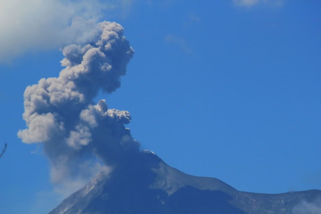 |
| Fuego puffing out some ash |
It's always fun navigating in Latin America. Just because it looks simple on the map, does not mean it will be easy. I made it out of Antigua without making a fool of myself dropping my bike on the uneven cobblestone roads. It's very difficult following a slow moving vehicle though. I prefer to maintain a slightly faster speed. But anyways, I survived.
It took us quite some time and several u-turns to find RN-5 from Antigua. In the end it was a tiny little side road off of the HWY to Chimaltenango. The angle it connected with the HWY was probably 30 degrees. A little tricky to negotiate. And that wasn't the first turnoff at that angle we found today. We continued to ask directions and make our way towards RN-5. Eventually I saw a sign at the side of the road saying we were on RN-5 so we rejoined, confident we were going the right way.
All of a sudden we were no longer on RN-5. We were somehow on RN-18. How did that happen? We didn't discover this error until we stopped for a lunchtime snack and looked at our map. Hmmm.... We were actually traveling a tiny dashed line on our map: a seasonal track. We were advised by a local that we could continue the way we were heading and still make it to Salama. The only issue: road construction. No idea when traffic would be let through. Okay, this could be a problem. Apparently not. Bikes could squeeze through the front porch of a ladies house just above the road. It was a steep driveway to get up and then back down. The bikes JUST squeezed through her front porch.
We were on the road to Pachalum and things were looking good. The road was sketchy of course, but at least we were moving. When we got to Pachalum and were planning on heading back to RN-5 we were told by a policeman that the road was closed. He told us there was an alternate road through Cubulco. He said that it was only 30min to Cubulco on a good but unpaved road and then after that it was paved. Well I guess that's better than turning back.
The road to Cubulco was very steep and seemed to just keep climbing up into the mountains. There were some downhill sections but mostly uphill. I would guess that we had a positive net elevation change. Thankfully it was dry because it was very rough in sections and quite steep. About 30min into the journey we stopped at a Pueblo to make sure we were going the right way. A passerby informed us that it was 90min to Cubulco from there. What?!?! So on we went in the direction of Cubulco. Some sections of the road were made with concrete (presumably they get too rough when it rains). It was a little hairy negotiating tight corners while trying to stay on the concrete tire track. The road was not very wide (in reality it was only suitable for 1 way traffic) so I was a little shocked when I saw a yellow school bus approaching. YIKES! We got very strange looks from locals we passed. I'm guessing we are the first North American adventure riders to come through because it was a little off the beaten track. To illustrate my point: we stopped to ask a group of ladies which way to go. The older lady (the only one who replied) seemed angry, but she gave us directions though she didn't stop walking. Her and her friend pretty much fled the scene after she gestured which way we needed to go and we saw them running down the hill. Are we that scary? Come on, we're Canadian. Eventually we arrived in Cubulco safe and sound and feeling a bit more adventurous. In the end (including asking for directions and taking pictures) the dirt road probably took us 120min.
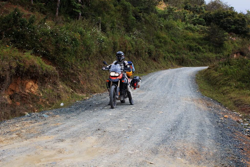 |
| Hmmmmm..... |
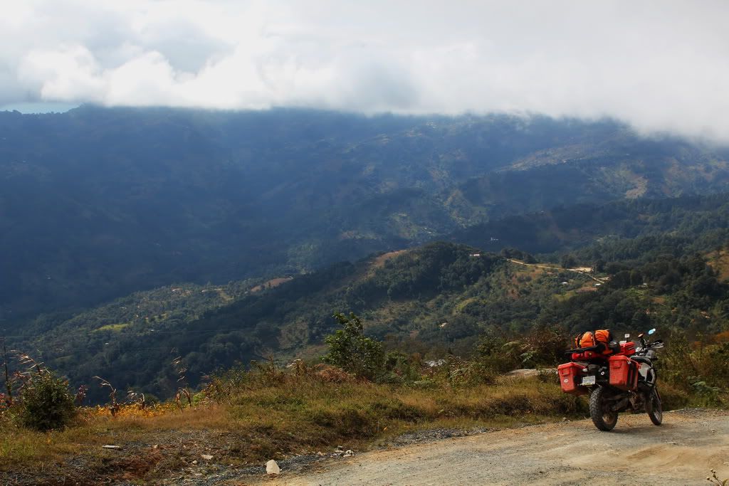 |
| Up, up, up and then down, down, down |
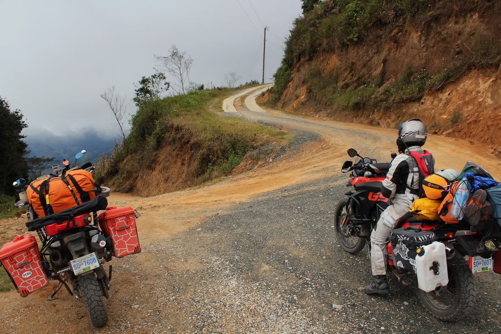 |
| Not sure which way to go |
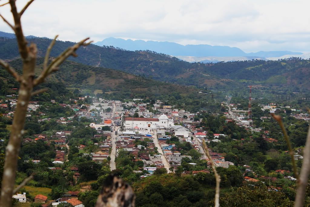 |
| YAY! We made it. |
Back on tarmac we made our way to Salama for the evening. We found a nice little hotel near the plaza. I guess you never know how your day is going to turn out.
 |
| What a long day |


No comments:
Post a Comment