Monday, September 27, 2010

Day 14 (105km): One wrong turn....5 hrs later


We only broke 100km today because we used my bike to go back into town for groceries.

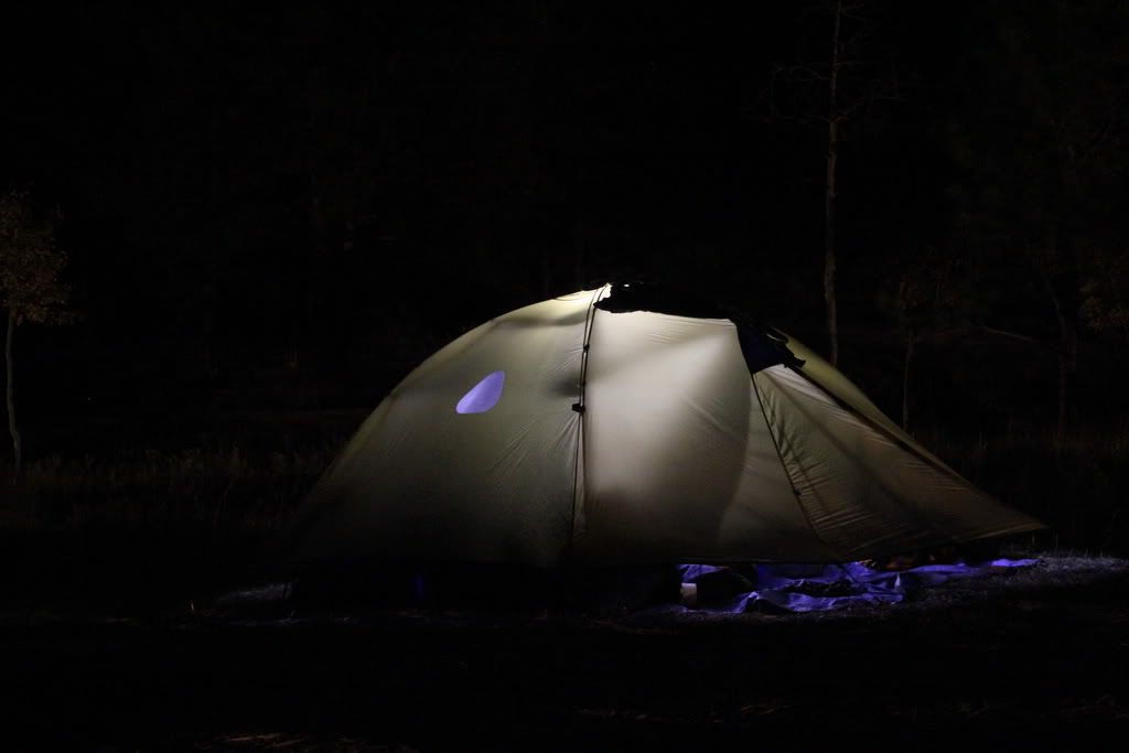
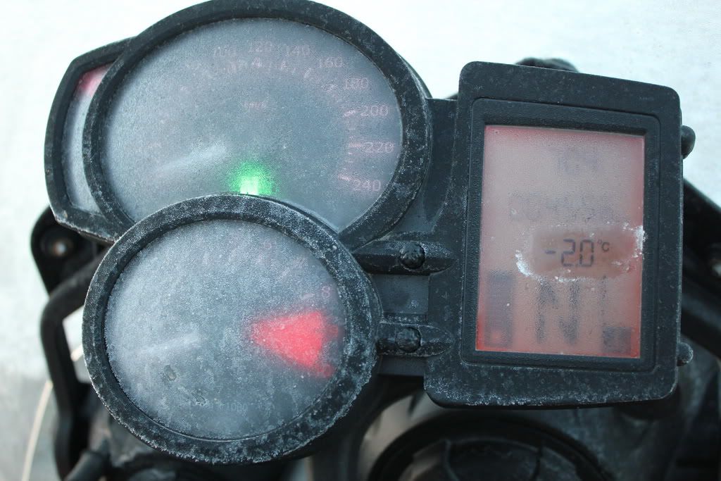
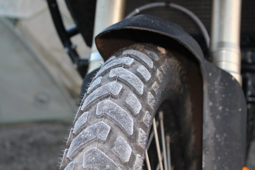
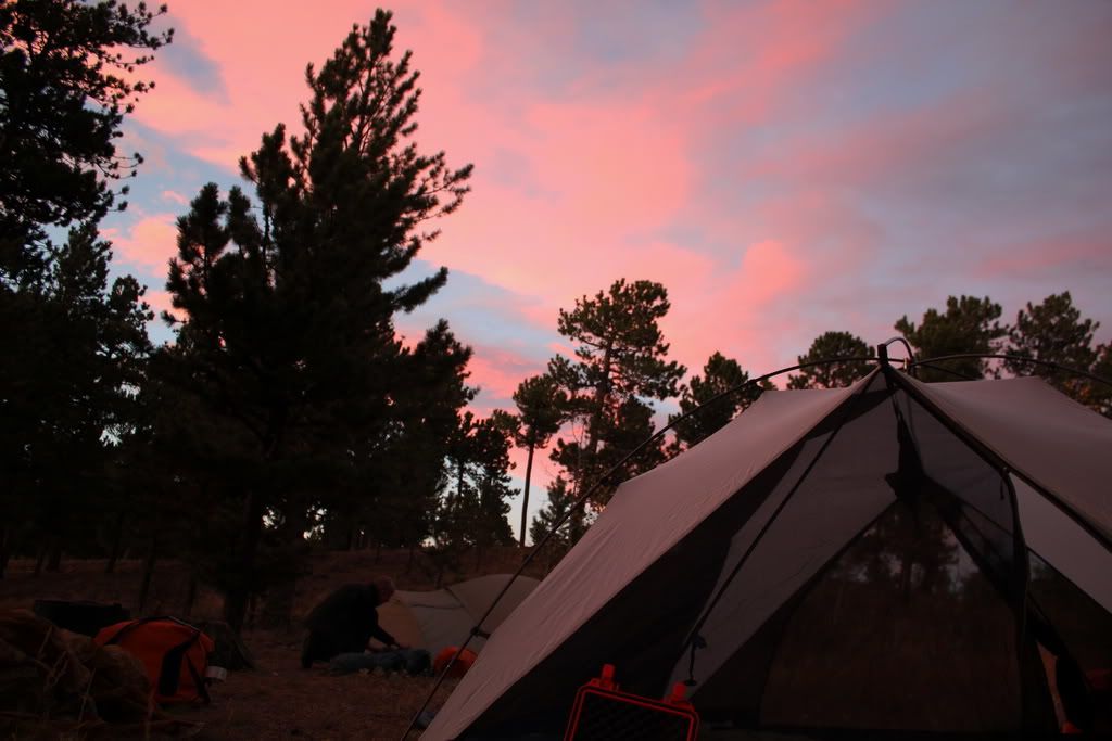
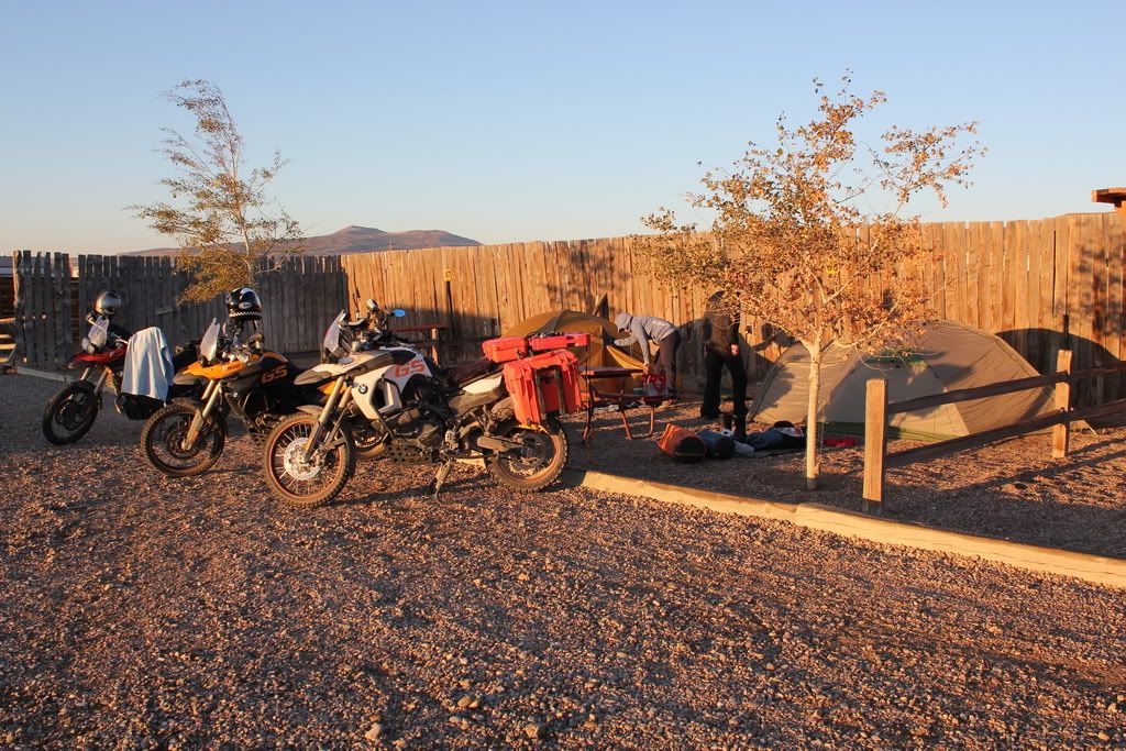
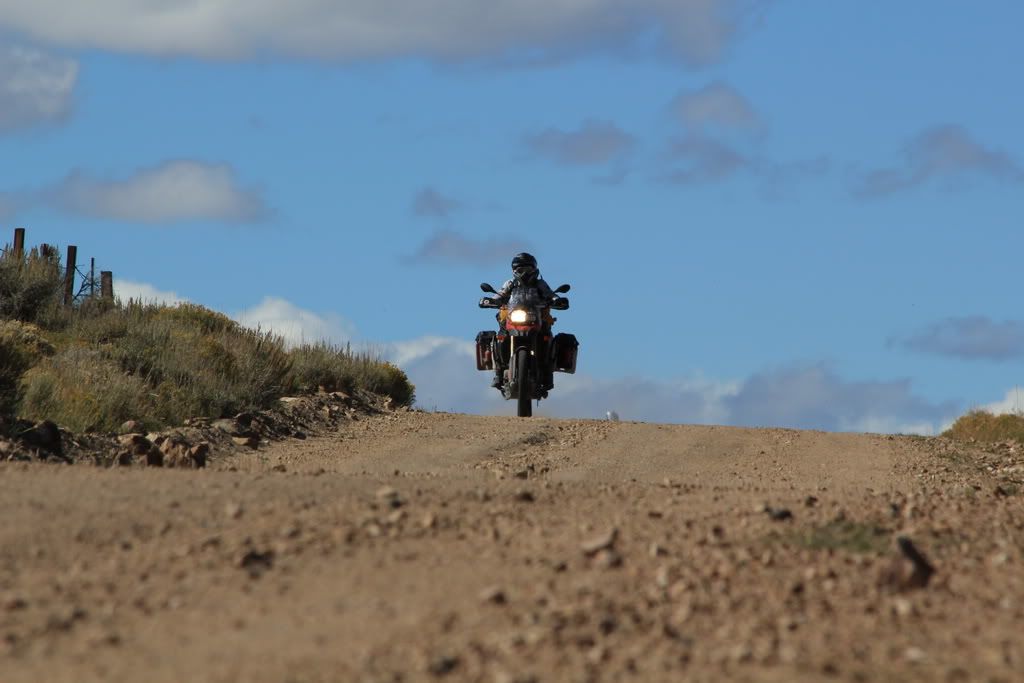
It was another typical morning, a little bit of frost but not too bad. It soon warms up with the sun. We stopped for a picture at the campground which was at 9,200ft. Off we went down the road to join the CDT. We didn't bother loading the end of the itinerary we were on, instead we loaded the next one and tried to join it. This was a bad move.
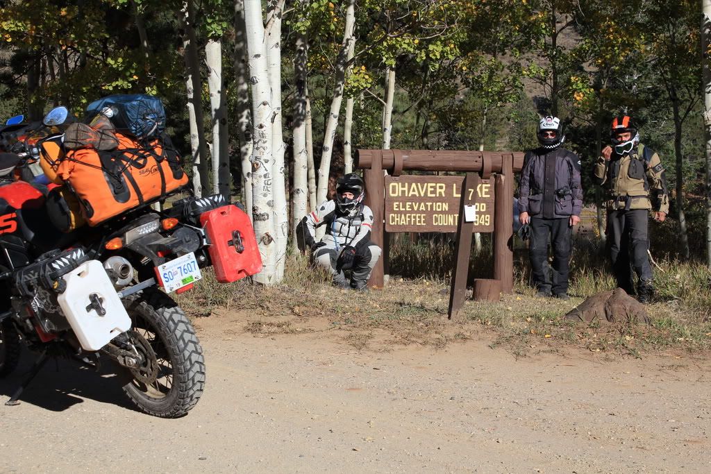
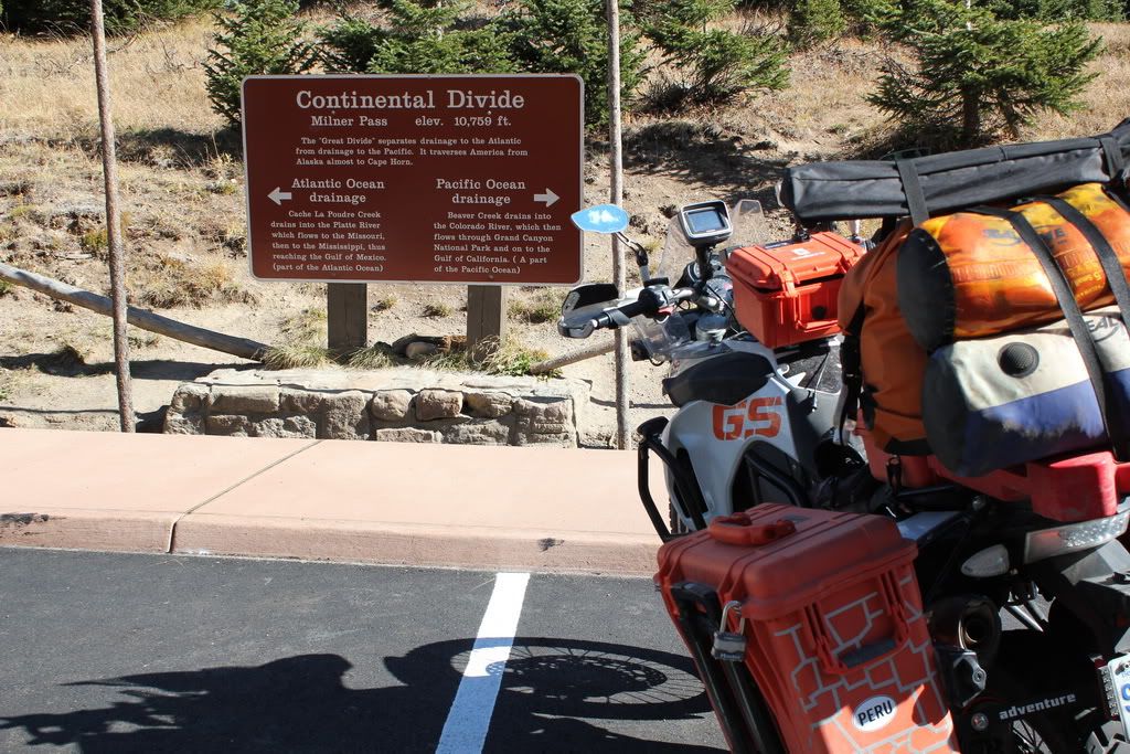
Darn we blocked the sign...
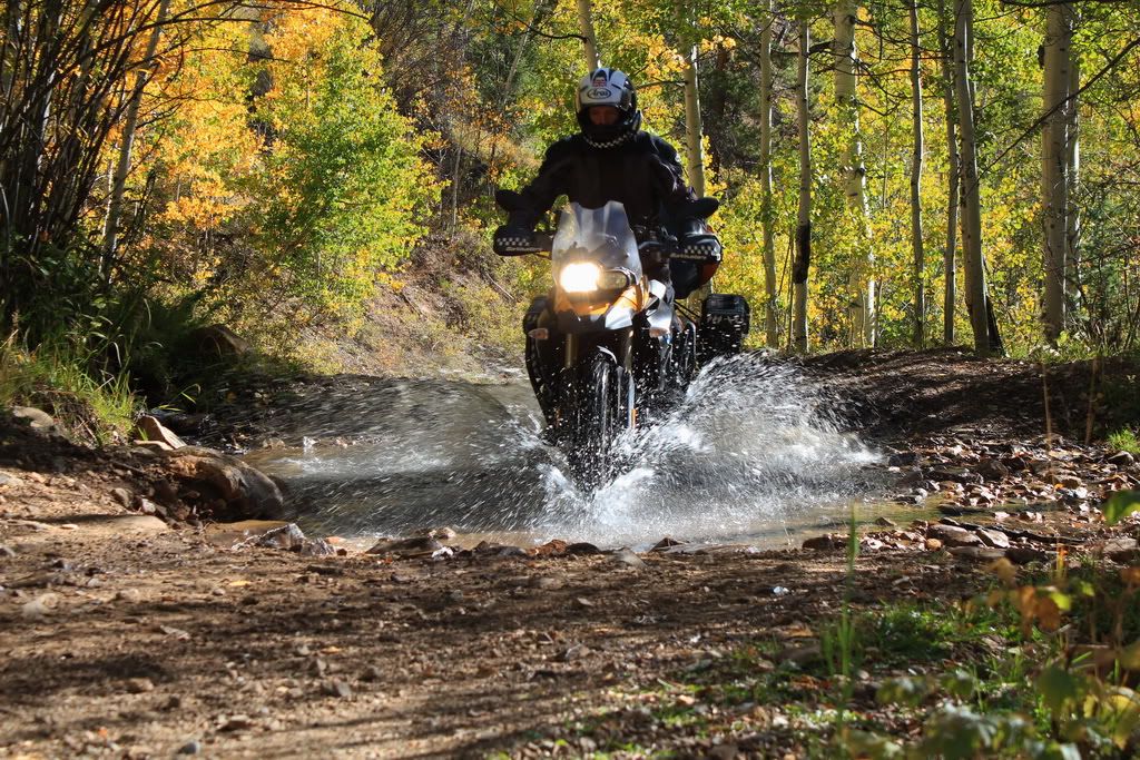
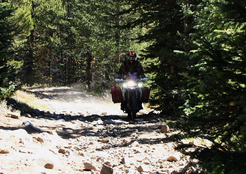
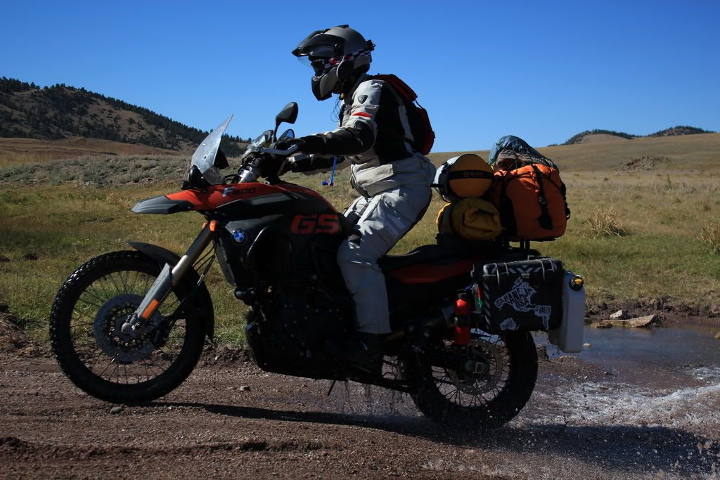
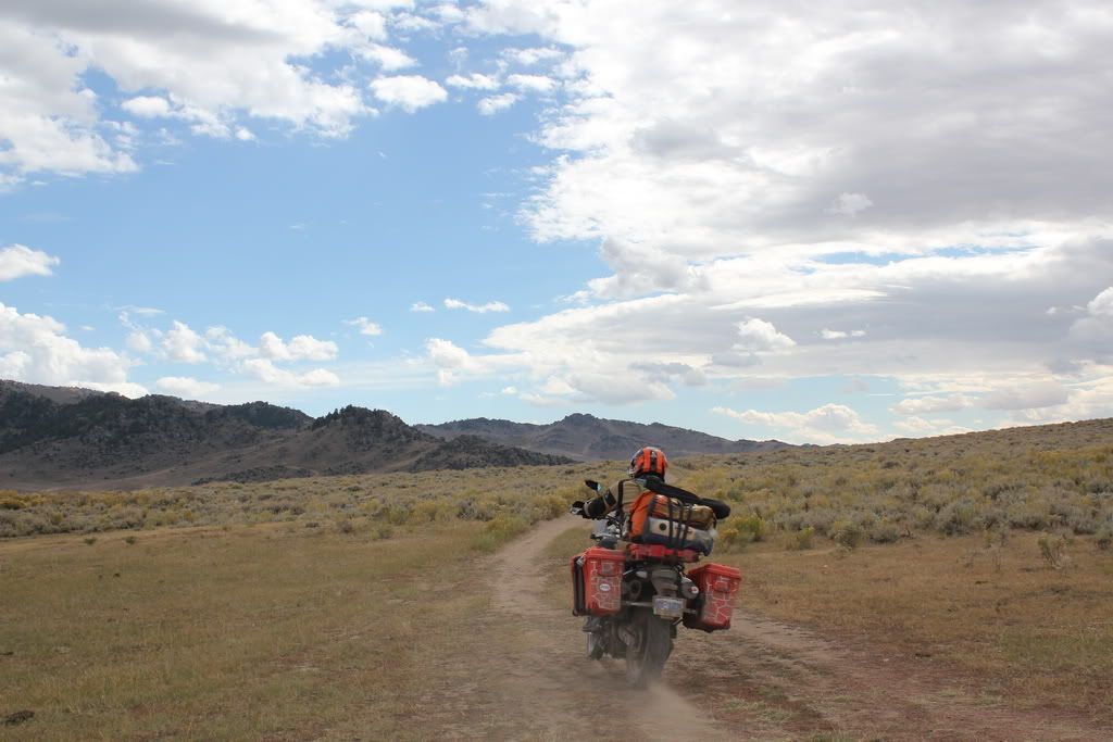
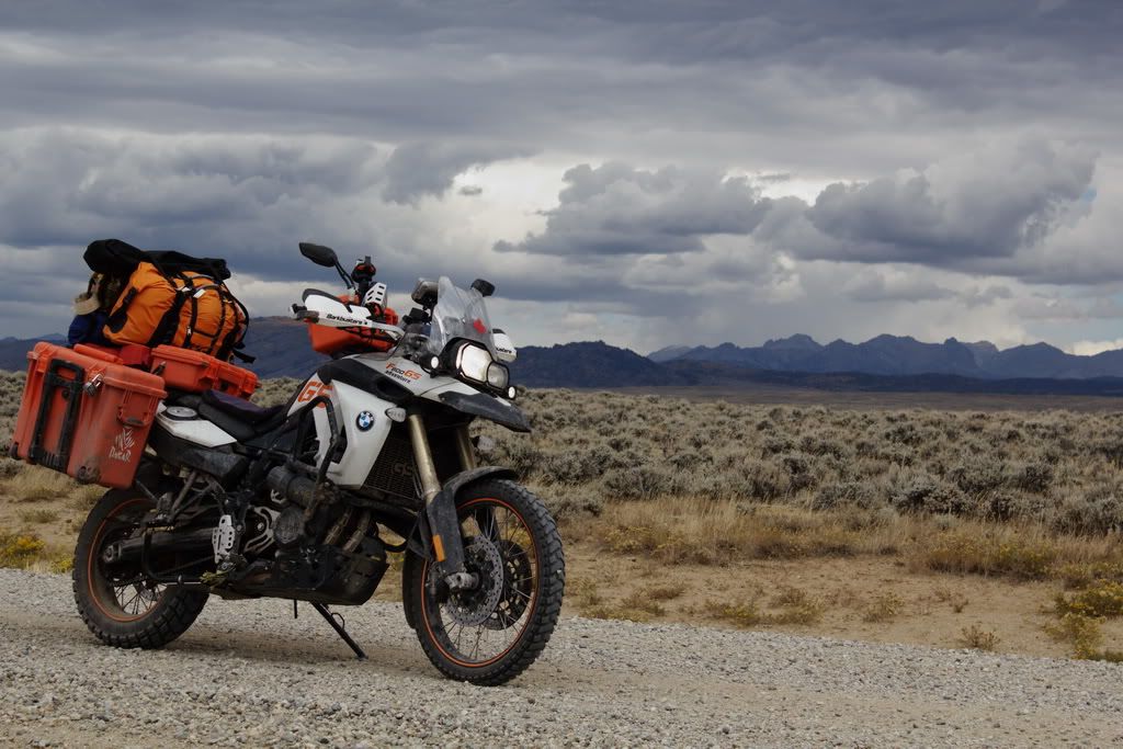
We started out on a pretty rough/rocky road. And when I say rocky I no longer mean little rocks.... these were pretty big rocks, with some small loose rocks thrown in for fun. We approached a small river crossing with a rocky creek bed. I dropped my bike before the crossing in the loose rock and it was at this point that I didn't want to go any further on this road. It was getting increasingly more challenging as we climbed and my bike is not the tool for the job. At this point we realized we had taken the wrong road for Marshall Pass. We were not ½ way but I was out-voted in the group and we decided to continue forward. 
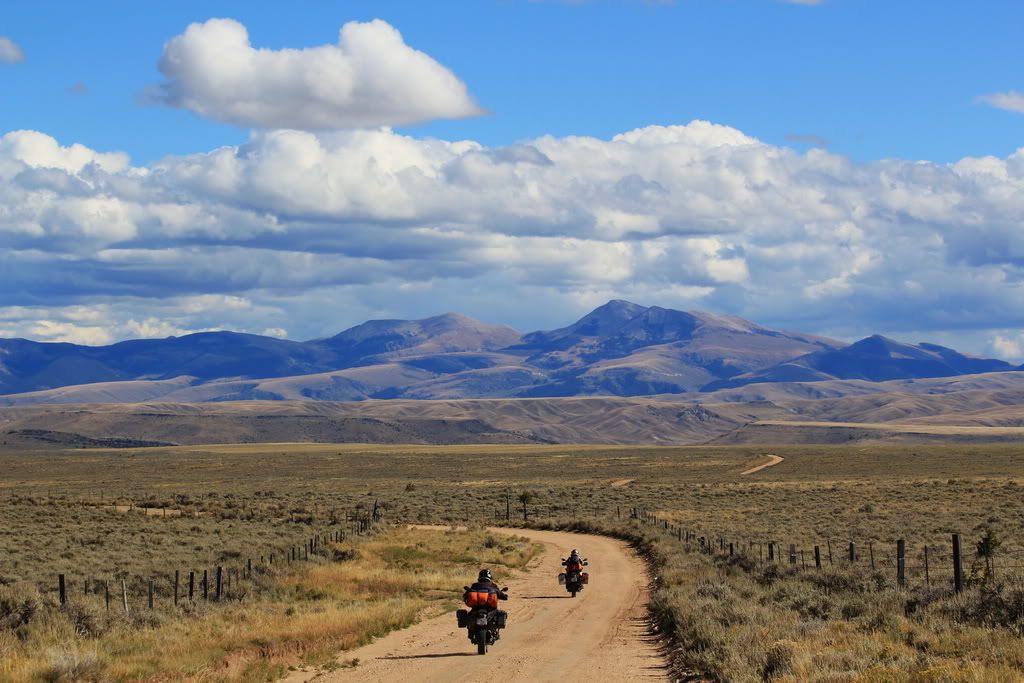
100% forward, apparently
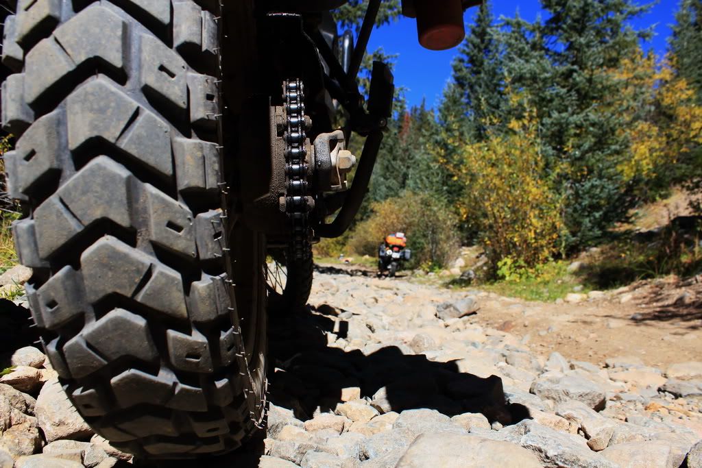
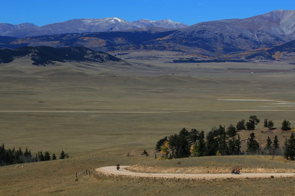
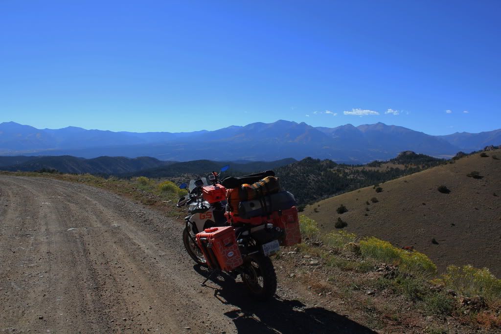
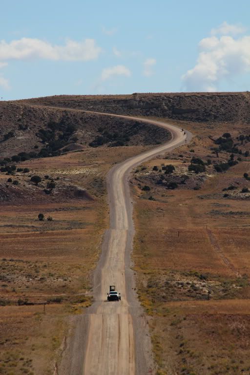
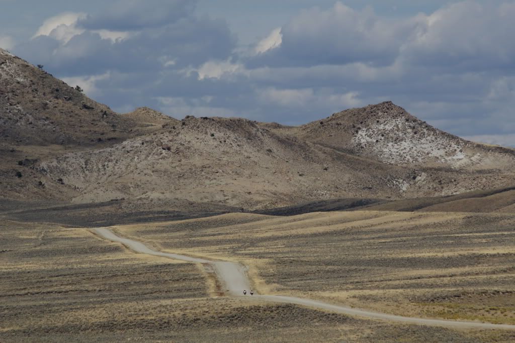
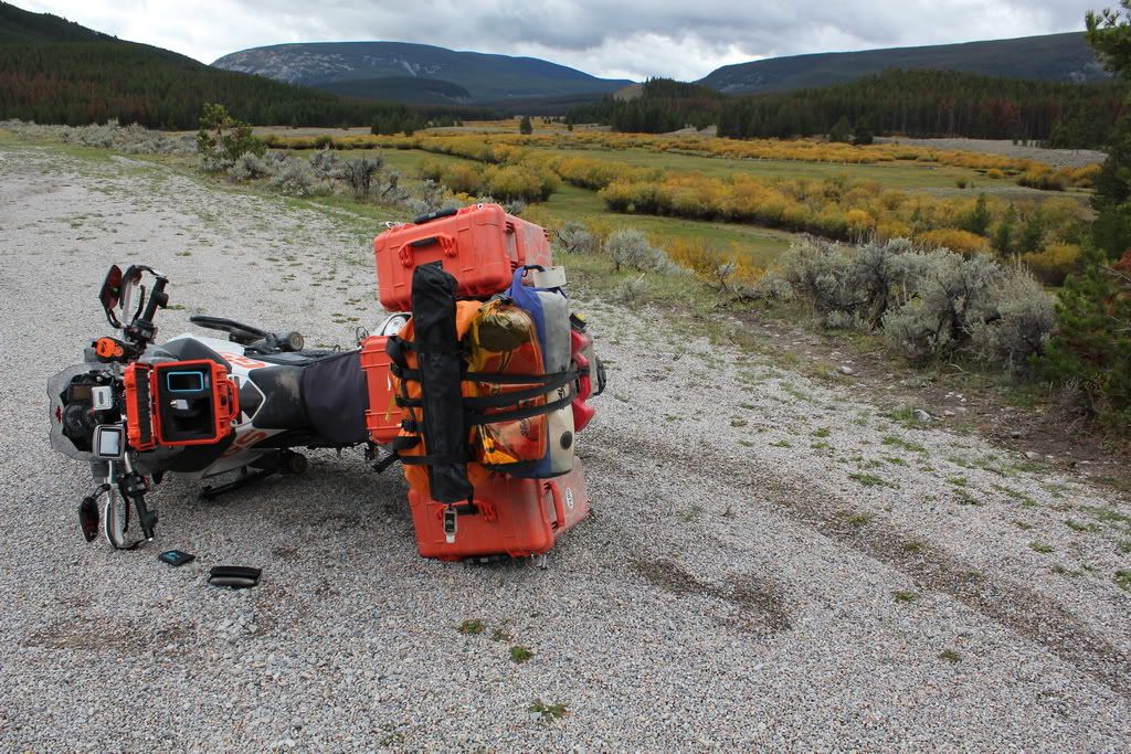
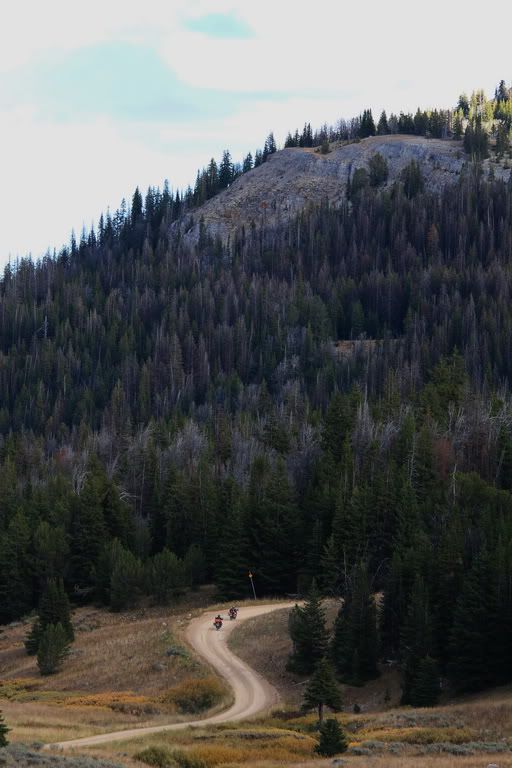
 
Some perspective

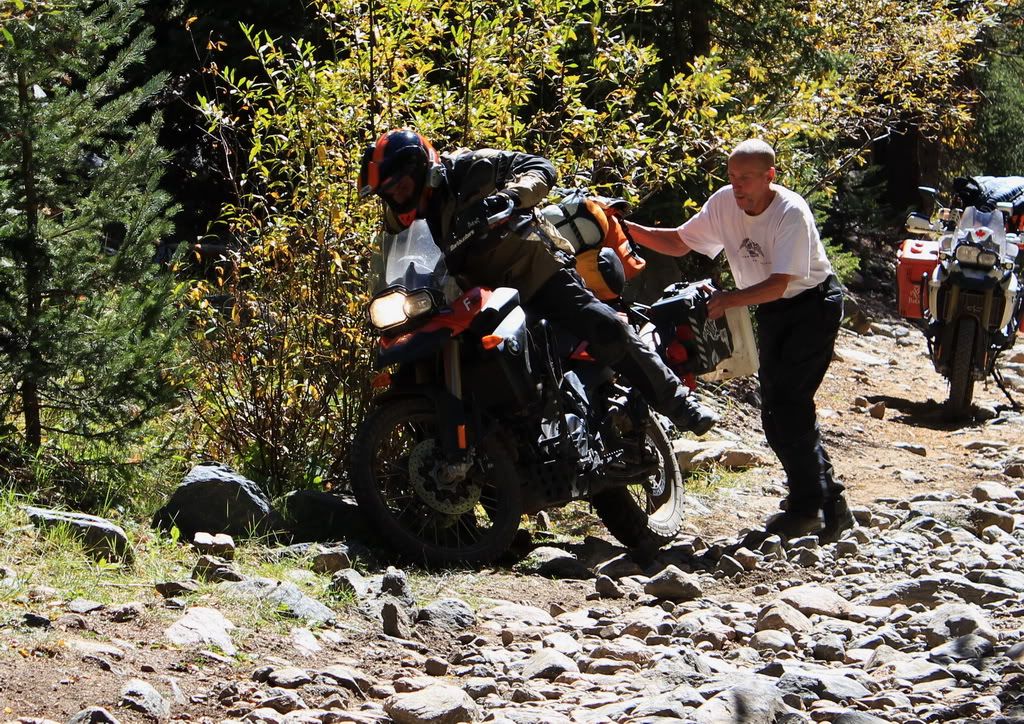
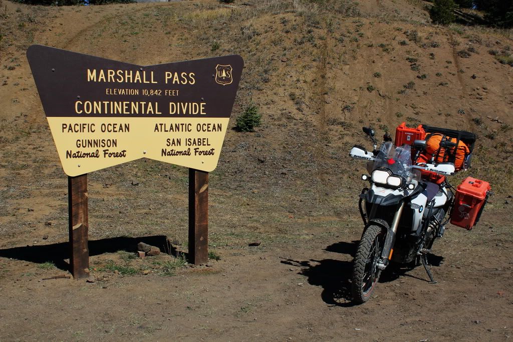
I pretty much spent the next 5km walking to Marshall Pass and either Alberto or my Dad rode my bike for me. I don't mind challenging roads, but I would not choose my F800GS out of the toolbox, I would be more inclined to use my jeep, or a dirt bike. Anyways, it got to the point where my Dad had dropped his bike in a large rocky section and him and Alberto had quite the job driving it up this section (since my dad had already made it 1/3 of the way). Next they tried my bike; but it ended up in the bush. It was at this moment that a group of dirt bikers lead by Hayduke (sp?) came across our path. Hayduke and his posse helped get my bike to the top; he actually rode mine up for me. Thanks Hayduke and friends for your help. Alberto managed to drive his bike himself, and earned himself the nickname: full throttle. He almost crashed straight into my Dad's bike, but didn't so I guess good for him. After a stop on the trail for lunch (we were all exhausted) we finished the last part and made it to the forestry road we should have been on. We stopped for gas once we were back on the highway and met a group of Dutch guys riding the TAT. They had started it last year but were rained out. Good luck this year guys! After that it was smooth sailing to the highway. So 5 hrs to do 24 kms. I'll pass on doing that anytime soon. 
Alberto crashing my bike into a bush
 
Just a little bit further
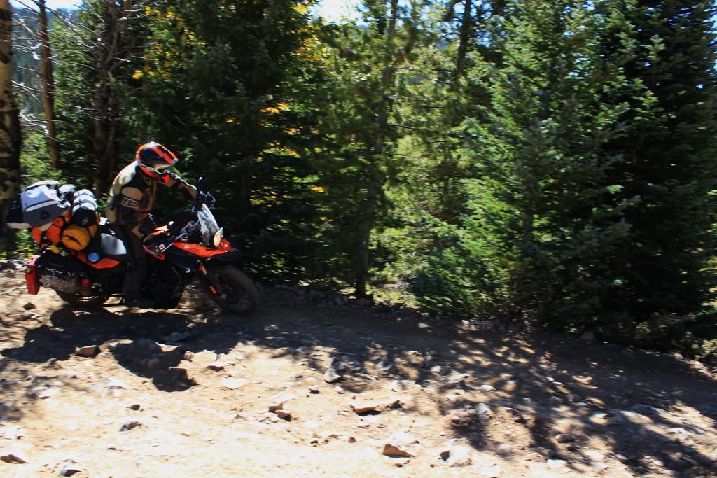
Alberto avoiding the HUGE rocks


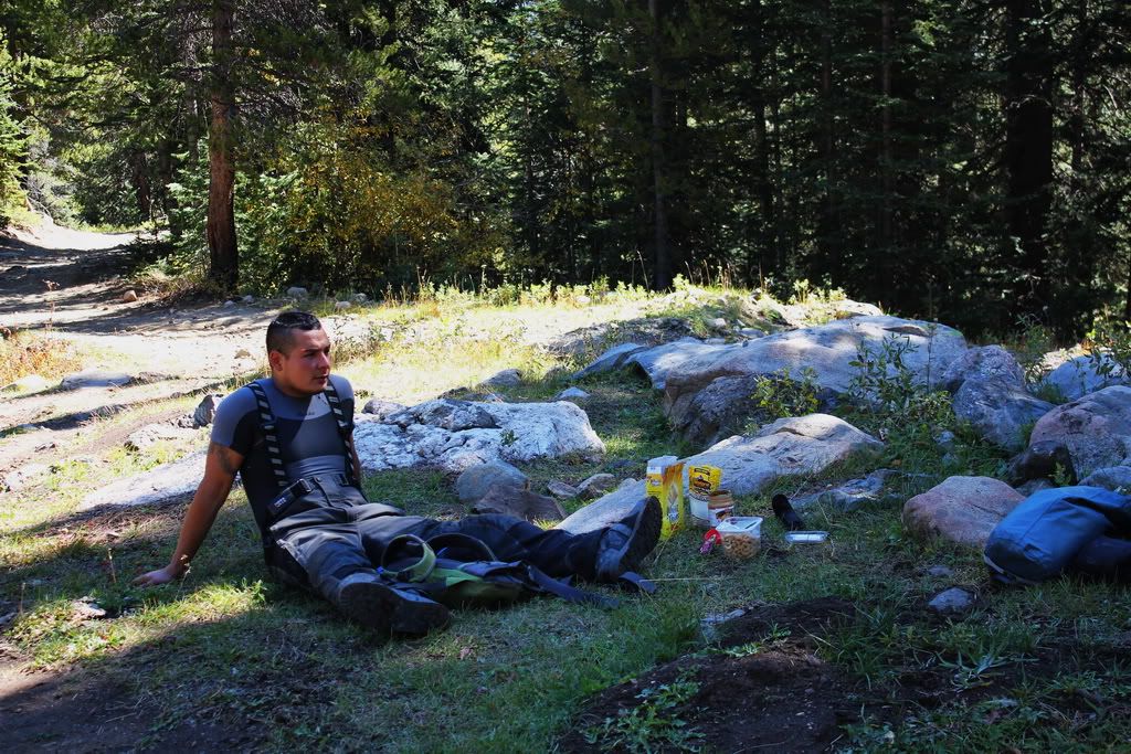
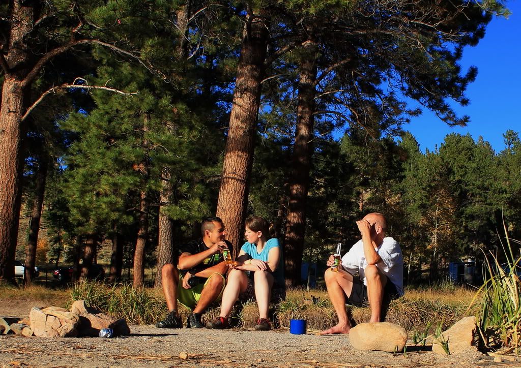
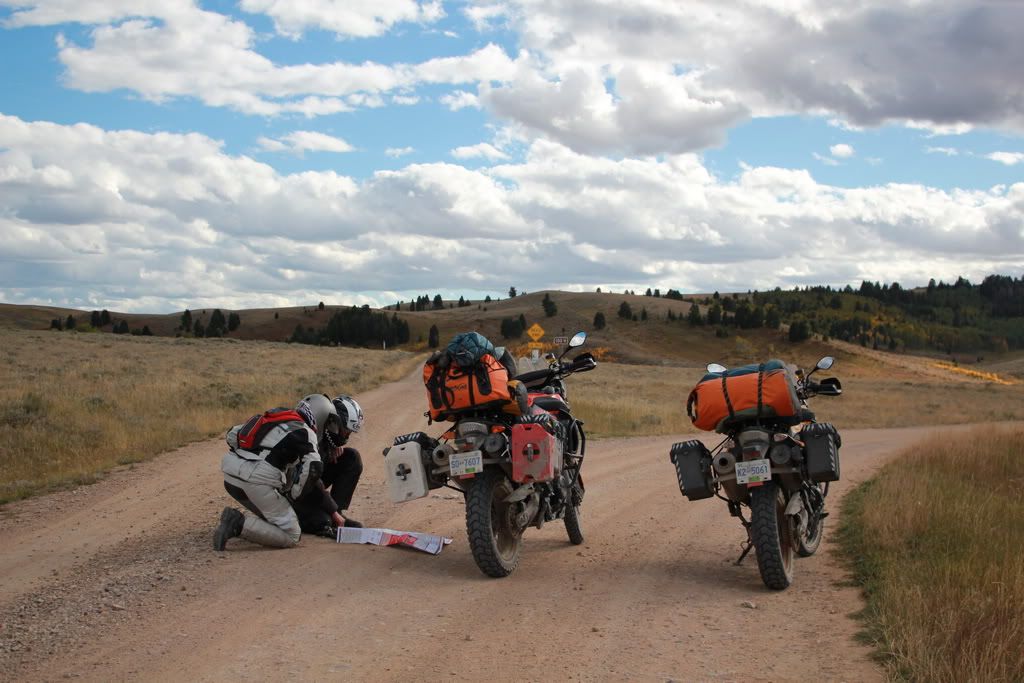
Taking a much earned break
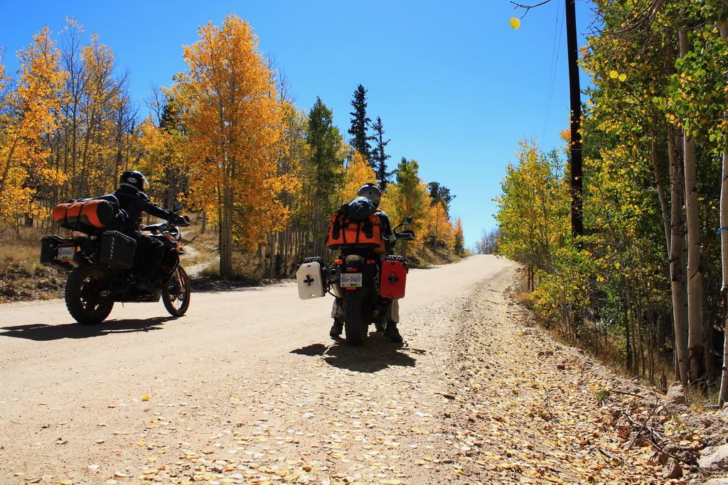
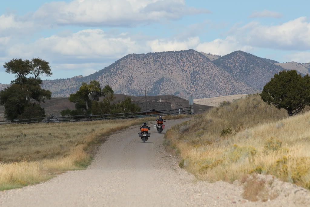
Finally out of the woods
In the aspens

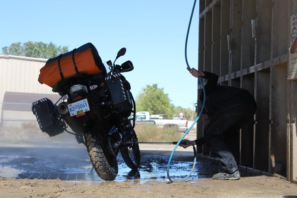
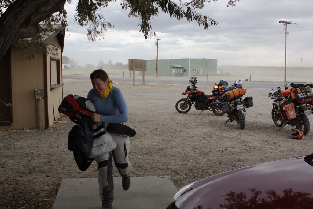
We got some gas back on the Highway and only made it as far as Gunnison before we cut our losses and gave up on the day. By that point the sun was shining and we were in search of somewhere with showers. Bonus, we got showers, laundry AND wifi all for $22. Seek out Tall Texan RV park. Also this is the first place we've stayed that has grassy campsites. We'd missed good old fashioned green grass. 
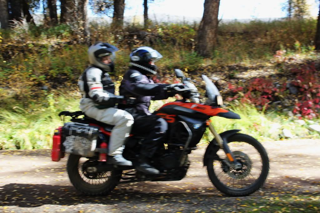
On grocery duty.... the picture is a blur cause we are so speedy
 

Day 13 (303km): Officially South!


How do I classify south? Well last night we were not the only ones camping in a tent. Not only that but there were SEVERAL other people in tents. Also today was the first day I did not use my heated vest. There was a tiny bit of frost on the ground when we woke up but nothing like the previous morning. Our plan for the morning was to let TomTom lead us back to the CDT. In doing this we stumbled upon the holy grail of biking roads. Being a Saturday, we saw probably 50 bikes out today and in particular a Ducati club (oh that was great). This amazing road goes by the name of HWY 93 I believe. Then onto HWY 285 which was a very bizarre experience indeed. First it was a two lane fast, boring highway, then all of sudden traffic came to a dead stop (because we found out later the road merged to a one lane). 

After that we came through a small town where a high school parade was happening... again at this time the road was going from a two-lane to a one-lane and traffic was backed up. The road was surprisingly busy, or so we thought. Again we came upon a slowing of traffic and cars were parked everywhere on the side of the road, and there was a full parking lot. We were frantically looking around hoping to see a grizzly but all we could tell was that there was a trail head and a bunch of Aspen trees and people were photographing. Quick lets get out of here. To top it off, at the end of our journey on 285 the road was closed due a traffic accident. The detour took us on a pretty dusty back road. My white suit now has a redish hue. I now look more authentic. I felt sorry for all those street bikes we passed on the detour though.
The parade
Phew off 285 finally and onto some nice dirt roads. The scenery looked a lot like the foothills of Alberta. We took a wrong turn, or rather TomTom lead us on a detour, where we went through a housing development. No worries, it was a nice view from up there.
Nice Fall colours
Nice

After breaking back out of the wilderness we had lunch in Hartsel. Burgers all around.... well Dad had a taco salad. 
Burger time!

Then back onto the dirt to Salida. It was a nice road and we had our first river crossing. We all survived. On the decent into Salida you come out of the dry hills and sit perched above the Valley. It was an amazing view. The road takes you winding down into the Valley and then you come to Salida. It was a very cute little town with lots of nice little houses. Since this looked like our last chance at civilization we got some groceries and got out of dodge (the heat was killing us). We camped for the night at 9200ft at O'Havre Lake just outside of town. 
First river crossing
Alberto was a bit more rambunctious
A very nice day
We were in shorts!
Night camping
 

Day 12 (336): Taking the Scenic Route (as recommended by the map)


This morning we woke up to frost. A nice thick frost over everything. Luckily the sun came up and started to melt everything.  The melting however was raining inside my tent. I guess the fly sheet isn't designed for frost; it's only a three season tent after all. Once we were sufficiently thawed, we were on our way to Steamboat Springs. 
The temperature: -2.0 C
My frosty wheel
We stopped in Steamboat to check out the camping stores. Dad was happy to be in the heart of Big Agnes country. After Steamboat we planned to ride through the Rocky Mountain NP. Again we were expecting some amazing mountain scenery, something like glacier NP, and found sad forestry roads. The road surface was very nice, and there were lots of nice curves but the speed limits and traffic prevented us from really enjoying the road. Finally at the summit we got some decent scenery but the park was a huge disappointment. The only wildlife we saw was two zebras. One was driven by Nick (Hi Nick). 
A zebra truck
Our friend the Continental Divide
The view from the top
Back out of the park we picked up HWY 7 south. It was a nice change. Some good twisties and barely any traffic. Some funny signs though “Motorcycles use extreme caution” and “In case of flood climb to higher ground”. We settled in Nederland for the night. While Dad was shopping for beer, I checked out the Mining Museum. They had a Bucyrus 50-D (I think that was the name) that was used to build the Panama Canal. They also had a little Bucyrus 10-D. It was so cute. We are now resting easy in the Kelly Dahl campground, there was a free campground but it was very primitive. 
The largest Steam Shovel in the US
 
A nice sunset to complete the day

Friday, September 24, 2010

Day 11 (304km): Welcome to Wyoming... again?


Somehow we managed to enter Wyoming 3 times today. We had spied this interesting looking road on the map heading eastward, back towards the CDT. So the plan was to take HWY 430 and then HWY 4 to Baggs and we would be back in business. No problem, we found 430 fine and then the road turned to gravel. We entered Colorado and there was a pile of industrial traffic. TomTom said we were on 10. How did that happen? Where did 4 go? So we back tracked a few kms to find “4”. There were no signs, and it was an unpaved oil field access road despite the map indicating that it was paved. No problem, off we went. I guess we got lucky because today they were applying a dust suppressant (MgCl2). Yeah that was fun to get all over the bikes. The road did eventually turn into a paved road, and we made it to Baggs.
Trying to figure out where we went wrong

The oil road
The carnage after the dust suppressant


First order of business in Baggs: get gas. Second order of business: find a car wash. We did find a car wash that ate Dad's money, but one of the wash bays worked. We gave them a high pressured wash down, hopefully that will mitigate the coating of MgCl2 they got. We'll see how that one turns out. We also had lunch in Baggs at El Rio. Yum yum, authentic mexican food. If you find yourself in Baggs, it's the best spot in town.... it also may be the only spot in town. 

The Bee getting a wash
 

We were back on the CDT. The section of road that goes towards Steamboat Springs was very popular. We saw 7 other bikers. I enjoyed the road very much. Lots of beautiful scenery and some amazing houses. We decided to stop for the night at Steamboat Lake where we are currently enjoying the sunshine.
Some beautiful scenery at the campground

We stopped so early we could enjoy a campfire; Luxury!


Day 10 (290km): It's Kamping!


Waking up at the Hoback campground was a nice big slap in the face thanks to the ice cold breeze. It was hard to pull out the tent pegs with bare hands the metal was so cold. So off we headed south; if we keep going south it's bound to get warm right? On the road my temperature gauge was flashing at me again. It was kind of bad-ass the first time, but now, the fifth time, the novelty has worn off. Power to the max Scotty (vest and grips).

We re-routed off the HWY to the town of Big Sandy. This was in hopes that we would catch up with the CDT. Turns out Big Sandy looks more like a town on the map rather than in real life. TomTom did lead us to the CDT but it was a very sandy track and I wasn't into it. I'm hoping to at least make it to Mexico with myself and my bike in one piece. So we continued on the dirt road to another HWY. Boy did it ever feel like we were in the middle of nowhere. This area of Wyoming is very desolate. 
Alberto playing in the sand
Looking good

A stormy day is brewing
beautifully stark scenery

Upon re-entering civilization we stopped for lunch in Farson. As we were eating lunch we could see the sky turning nasty. By the time we had finished lunch the rain had started and it was blowing a gale. 
Trying to run from the storm to put on my rain gear
I could barely keep my bike standing at a stop. We wobbled south down the highway to Rock Springs seeing the light at the end of the tunnel. We made some comfort stops once arriving in rock Springs (Walmart and Starbucks) and then to the only campground in the area for the night... a KOA. I usually hate on KOA's cause they cost so much and it feels like passing through a time warp. This one was actually REALLY busy, very clean and more or less modern. This was the first place we've stayed where there have been more than 2 other people, but not surprisingly again we were the only ones in tents. I guess Rock Springs is a big stopping point for RV's heading South? Thankfully dad went on ahead, leaving us at Starbucks, to suss the camping and set up our tent. As we were arriving the sky opened up and it poured rain for about an hour. We were a sad sight huddling under the tarp eating our dinner, when our next door neighbours were watching cable on their flat screen. 
Our KOA campsite. We were the only ones in the tent section.
 

Wednesday, September 22, 2010

Day 9 (343km): Yellowstone/Teton

Epic Waterfall
It was a very cold night. I thought we were heading south to the warmth?? I guess we shouldn't have followed the great divide. We entered Yellowstone National Park, and also Wyoming. Byebye Montana. I shall miss you. I don't know what I was expecting or why but for some reason I thought Yellowstone would look like Kananaskis. It didn't. It was some hillsides and burnt forest. But all was not lost.  I did see, for the first time, a Bison in the wild. They are pretty big and one crossed the road right in front of Alberto. We also saw some geysers and a pretty amazing waterfall. All in all it was worth the trip but I'm in no rush to go back. 
Wild bison
More up-close Bison
The Dragon's Mouth

So south we headed out of Yellowstone, through Teton, and onto Jackson, WY. Jackson was like Fernie on steroids. It kind of freaked me out a little bit and it was a bit of a chore to find a grocery store. All the shops are camouflaged in an alpine theme so you can't tell what's what. Dad picked up some beer, I guess he's off the wagon again, and we found some groceries. We travelled south-east on HWY 191 and found a nice little campground in Teton national forest.You know, sometimes I feel like I'm in that Civic Nation commercial, only instead of civics it's GSs. It Seems like all the bikers we pass, or at least 75%, are riding a GS. 
Enjoying the view in Teton NP

Camping in bear country

Day 8 (339km): The day we went AWOL

This morning we decided to stray from the CDT route. We were making bad time (I'm slow on dirt) and we thought it might be fun to check out Yellowstone Park (since none of us had been there before). So off we cruised down I15 and then onto HWY 43. We took this amazing road down to HWY 278. My map doesn't show the name of the road but the whole time I was day dreaming about coming back on my other bike. The only caveat is you need to watch out for the wild cows. Oh and lookout for the signs telling you to turn left for the Ghost town. It wasn't so much of a ghost town as it was a ghost house. A huge letdown. So it was an amazing start to the morning. We then broke free from the TomTom itinerary and went east to Dillon for lunch. 
The view from the amazing mystery road
Alberto down again. It was like playground gravel! For a roadside turnout.
Checking out the ghost house
The middle of nowhere.... like in the movies
After a bite to eat at the local burger joint (Dairy Queen) we traveled east on some other mystery road. We inquired with the local forest ranger and she said we would know in the first 5 miles if the road was fit for vehicle travel. 
Lunchtime, as recommended by a local
Luckily it was and it was one of the nicest roads (for scenery) we'd been on since entering Montana.
On the road
Wow!
Some civilization
 After a while we stopped to check a map because we thought we should have hit HWY 287 by now. Good thing we checked. We had missed a turn 8km back. So after a bit of back tracking we were back on track. Oh boy, were we back on track. The road we needed to take to get back on the highway was seriously rutted. Thank goodness it was not wet otherwise we would have been camping there. We did eventually make it back to tarmac and a campground. Yay I survived, and I didn't drop my bike (looks in Alberto's direction). 
Trying to figure out the fastest way to the HWY and therefore dinner

New Plan: Go straight to the Highway